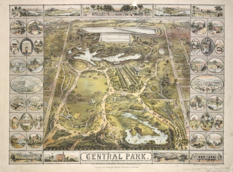
NYPL has now scanned nearly all of its public domain New York City atlases… and built a web tool where users both inside and outside the Library can virtually stretch old maps onto a digital model of the world à la Google Maps or OpenStreetMap, thus creating a new copy that is not only aligned with spatial coordinates on the Earth, but normalized across the entire archive of old maps… All of this is done collaboratively, through the piecemeal efforts of staff, volunteers, and interns, a group of roughly 1,500 participants worldwide.
Read more about the project here. To participate, begin by creating an account here and then check out a YouTube tutorial here.