Evolution of a Pan-Hellenic Sanctuary: Figures
Figure 1: The Isthmus
Dashed line indicates ancient road from Corinth to Athens, and from Corinth south
![](http://humanities.uchicago.edu/isthmia/maps/corinthia.gif)
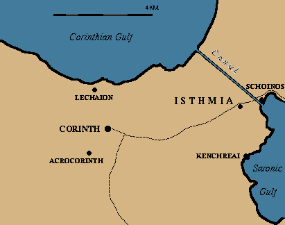
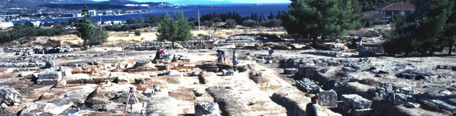
Figure 1a/b: Plan showing the Major Monuments at Isthmia
![fig1_ab](http://lucian.uchicago.edu/blogs/isthmia/files/2010/08/fig1_ab-250x300.jpg)
Figure 2: Contour Plan of 8th C. BC Isthmia
![800_6](http://lucian.uchicago.edu/blogs/isthmia/files/2010/08/800_6-300x222.gif)
Figure 3: Detail of groove and postholes in the 8th century terrace
![evolution_fig3](http://lucian.uchicago.edu/blogs/isthmia/files/2010/08/fig3_5-259x300.gif)
Figure 4: Drawing of Perirrhanterion
![fig4_6](http://lucian.uchicago.edu/blogs/isthmia/files/2010/08/fig4_6-295x300.jpg)
Figure 5: 500 BC Contour Plan showing stadium
![500_6](http://lucian.uchicago.edu/blogs/isthmia/files/2010/08/500_6-300x220.gif)
Figure 6: 300 BC Contour Plan showing Classical Temple
![300_6](http://lucian.uchicago.edu/blogs/isthmia/files/2010/08/300_6-300x210.gif)